
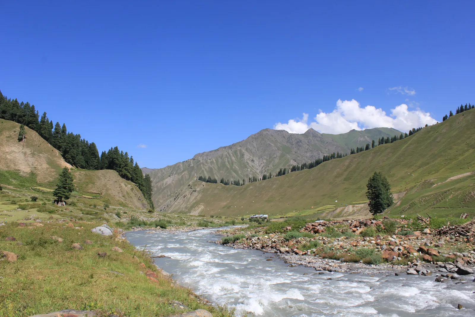
Untouched frontier valley along Kishanganga River
Gurez
- Altitude
- 2,400 m
- From Srinagar
- 125 km
- Best time
- June – October (road closes in winter)
A remote valley beyond the Razdan pass, with log-built villages and the Habba Khatoon peak. Carry ID and check current road and access rules before you go.
Gurez is in the Kishanganga valley beyond the Razdan pass (3,300m), about 125 km from Srinagar. Most of the valley is within sight of the Line of Control, and while tourism is permitted, non-local visitors need a valid government-issued photo ID at the checkpoints (the driver handles the paperwork).
The villages — built from pine logs stacked horizontally — look like nowhere else in Kashmir. The Kishanganga river is wide and green. Habba Khatoon peak (4,742m) is visible from Dawar, the main settlement. The road is open roughly June to October and closes completely after the first heavy snowfall. Carry cash, a warm layer and whatever food you want — shops in Gurez are basic.
Getting there
125 km from Srinagar via Bandipora and the Razdan pass. Allow 5–6 hours each way. Road status should be checked before departure, especially in late September and October.
Travel essentials for Gurez
Practical tips and local rules to help you plan your visit without surprises.
Local transport & taxi rules
Outside taxis drop in town centers. Internal sightseeing points in Pahalgam, Sonamarg, and snow zones operate on registered local union cabs or ponies.
Mobile connectivity & SIMs
Prepaid SIMs from outside J&K do not work due to telecom regulations. Carry a postpaid SIM (Jio, Airtel, or BSNL) for dependable mobile data and calling.
Cash, UPI & payments
UPI and cards are accepted at major stays and restaurants. Keep cash on hand for high mountain passes, tea stalls, local boatmen, and pony rides.
What to pack & clothing
Weather can shift quickly in the mountains. Pack layered clothing, a warm fleece or light down jacket for mornings and evenings, and sturdy walking shoes.
Taxi routes
Fixed fares to and from Gurez.